LAMD — Operations Panel 3D Terrain Map UI/UX Consulting
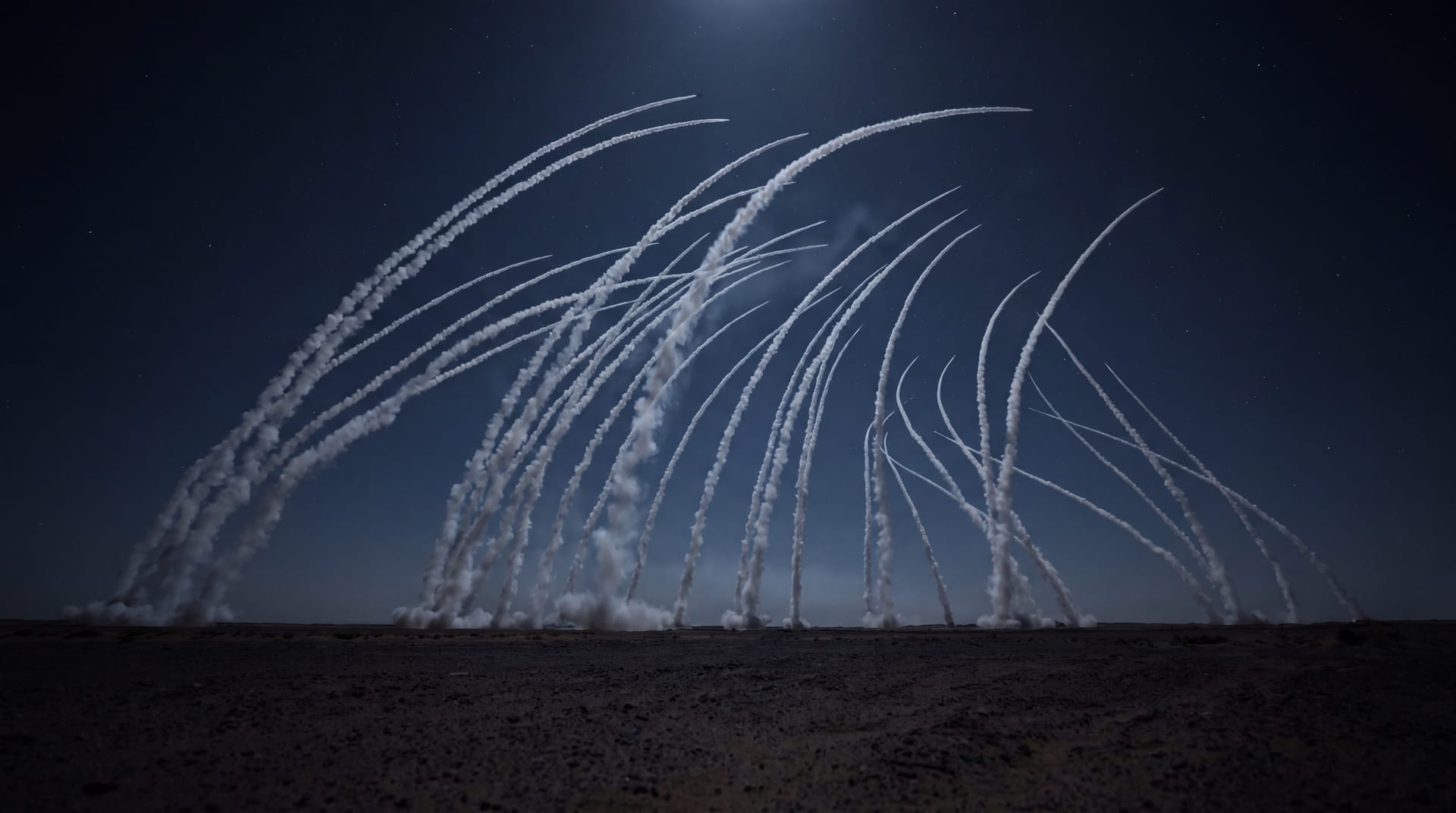
Low-altitude interception gets judged against the terrain, and terrain does not reduce to a number.
LAMD intercepts long-range artillery. The engagement is over quickly enough that an operator cannot work through it a step at a time — they have to hold the whole of it and the detail of it at once.
So the altitude map was built in three dimensions, the first time a Korean weapon system had done that. Whatever comes next will be measured against this one.
Then an ordinary fact of the room decided the interface. The altitude map sits on the upper monitor and the cursor cannot travel there. The three-dimensional map is driven from the keyboard instead — keys and shortcuts rather than a pointer — which changes how every control on it has to be thought about.